Show stellar density field

|
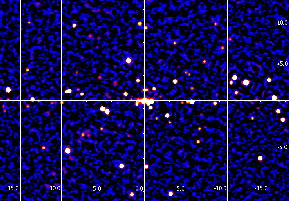
Map of the Galactic Bulge region accumulated over seven years 2003-2010. This map is mosaic image of the individual sky observations performed with IBIS/ISGRI in the 17-60 keV energy band. To reduce systematic noise arised in the dense region of Galactic Center (GC), we skipped all pointings situated in the 3-degrees vicinity around GC. The map is interactive, click on the source position to see its light curve over seven years. Use link below the image to overlap stellar density field. The green contours are isophotes of the 4.9 micron surface brightness of the Galaxy (COBE/DIRBE) revealing the bulge/disk structure of the inner Galaxy. The near-infrared brightness of the galaxy traces also the hard X-ray ridge emission. |
| This page is maintained by Roman Krivonos (krivonos [re-move] iki.rssi.ru) |
| (c) 2025 Russian Science Data Center // Space Research Institute // Russian Academy of Sciences // Moscow, Russia |
| (c) Max Planck Institut für Astrophysik // Garching, Germany |